
MINEX Product Family
Active metal detection systems designed for locating buried landmines and unexploded ordnance. MINEX detectors provide reliable performance in mineralized soils, supporting humanitarian demining, military clearance, and safety operations in contaminated areas.

FEREX Product Family
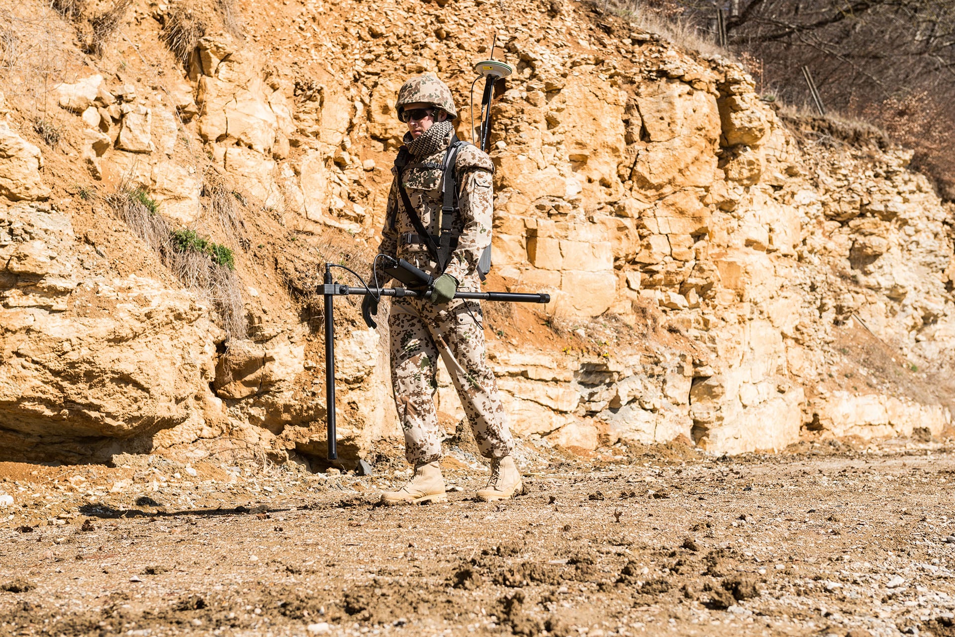
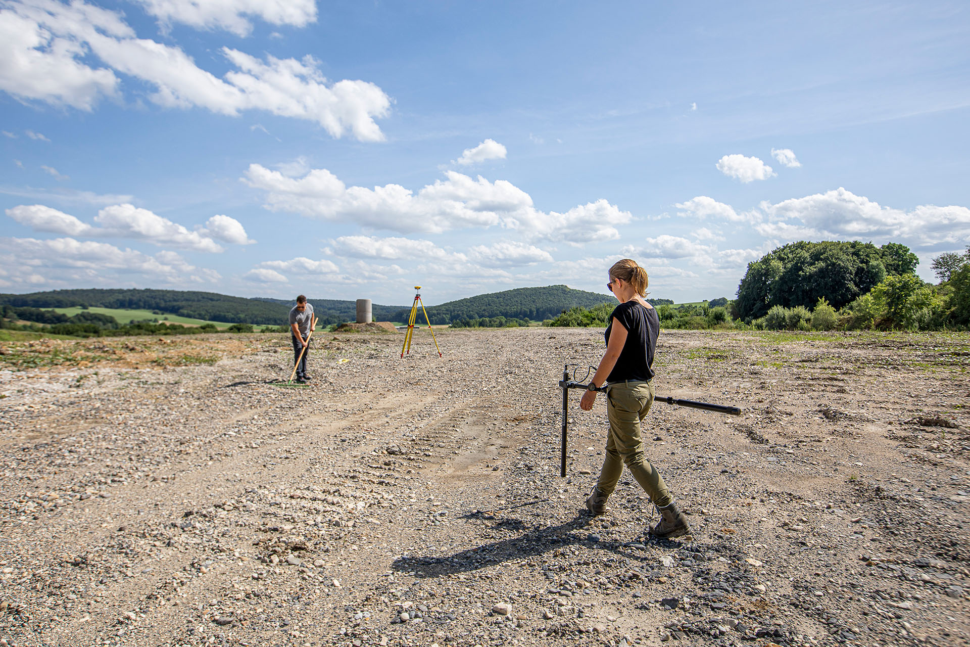
Fluxgate magnetometers for detecting buried ferromagnetic objects by measuring disturbances in the Earth’s magnetic field. FEREX systems support UXO detection, archaeological investigations, and geophysical surveys requiring precise magnetic field measurements.

DATA2LINE Product Family
Comprehensive software for managing and analyzing magnetic field survey data. DATA2LINE enables efficient project preparation, data processing, and interpretation for geophysical detection, UXO surveys, and large-area magnetic investigations.

MULTICAT
Trailer-based detection system carrying multiple FEREX magnetometers for rapid surveying of large areas. Designed for efficient UXO and geophysical investigations, MULTICAT integrates navigation software and GPS systems for precise wide-area magnetic surveys.

DATAMONITOR 4
Navigation and data acquisition software designed for wide-area detection surveys. DATAMONITOR 4 controls FOERSTER multi-probe systems, supports precise geo-referencing, and enables efficient survey planning and recording for land and marine detection projects.
.png)
Advanced UXO and EOD Detection Technology for Safer, Faster Missions
From unexploded ordnance left behind decades ago to today’s evolving security thre…
Turning Magnetic Survey Data into Safer, Smarter Clearance Decisions
We have explored how high-sensitivity flux-gate magnetometers enhance humanitarian…
Reducing False Positives in Humanitarian Land Remediation Operations
Humanitarian geophysics plays a critical role in post-conflict recovery. Before la…